


A mid century German educational world map
Collectables Auctions
Explore an enormous array of collectables auctions on the UK's leading online auction marketplace. Browse models, toys, dolls, games, arms, armour, militaria, books & periodicals, sporting equipment & memorabilia, musical instruments, stamps, coins, classic cars & motorcycles, camera & camera equipment, wines & spirits, maps, religious items & folk art, banknotes, entertainment memorabilia, and more. With so many reputable auction houses selling on the saleroom, you can find the collectables auctions you're looking for and more. Use tools like watch lists, auction alerts, filters, and more to speed up your search and compete in live and timed auctions. Place winning bids on the items that match your criteria and get your next collectable on the saleroom.
Popular categories
Musical Instruments & Memorabilia
Bank Notes
Cameras & Photography Equipment
Entertainment Memorabilia
Kitchenalia
Toys & Games
Railwayana
Religious Items & Folk Art
Scientific Instruments
Writing Instruments
Sports Memorabilia & Equipment Auctions
Collectable Stamps
Tools
Taxidermy
Arms, Armour & Militaria
Vintage Wine & Spirits
Featured auctions
Upcoming auctions
11 item(s)
Filtered by:
- Category,
- Auctioneer
- List
- Grid
-
11 item(s)/page

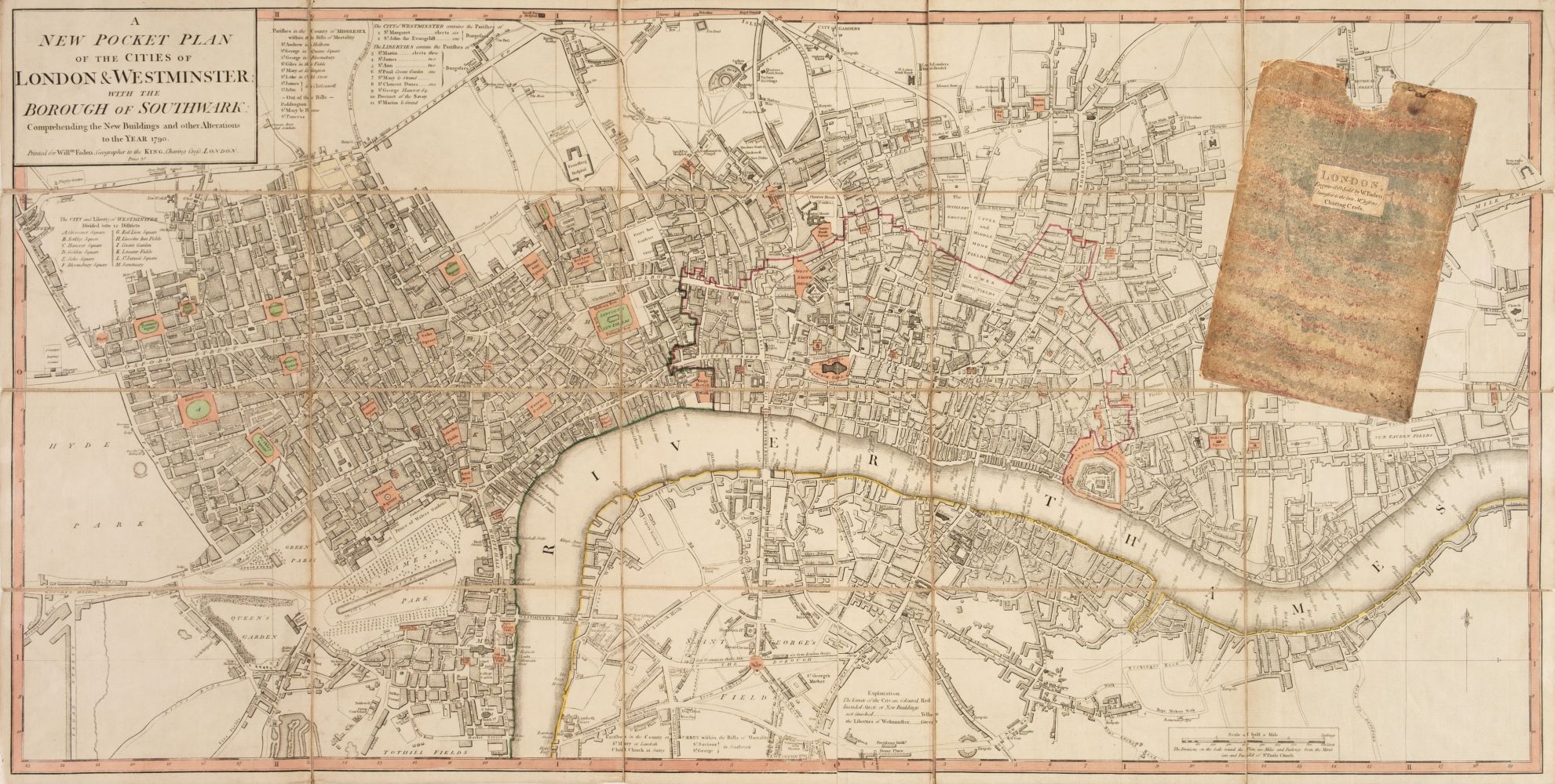
William Darton (1755-1819), folding hand coloured map, New and Correct Plan of London and Westminster with the Latest Improvements, publ. 1814, Wi...

Lot 1733
After Johannes Blaeu (Dutch, 1596-1673), hand coloured engraved map ‘’Surria vernacule Surrey’’,
1733After Johannes Blaeu (Dutch, 1596-1673), hand coloured engraved map ‘’Surria vernacule Surrey’’,
After Johannes Blaeu (Dutch, 1596-1673), hand coloured engraved map ‘’Surria vernacule Surrey’’, text verso, 38 x 48.5cm

Lot 847
Five framed maps of Sussex, including four 18th century examples by Herman Moll, Johanes Norden,
Five framed maps of Sussex, including four 18th century examples by Herman Moll, Johanes Norden, etc. largest 49 x 62cm ***CONDITION REPORT*** ...

Lot 840
Eight framed 18th and 19th century maps of Sussex, etc., including maps by; Langley, Eman Bowen,
Eight framed 18th and 19th century maps of Sussex, etc., including maps by; Langley, Eman Bowen, Cary, etc. largest 22 x 27cm ***CONDITION REPOR...

Lot 833
Six 19th and 20th century folding maps of Sussex; an Ordnance Survey (318), a W.H. Smith & Son
Six 19th and 20th century folding maps of Sussex; an Ordnance Survey (318), a W.H. Smith & Son map, a Smith & Son 172 Strand 1864, two Walker’s Co...

Lot 838
Four unframed 17th century maps of Sussex; two by Robert Morden, 39 x 43cm and 37 x 43cm, Norden &
Four unframed 17th century maps of Sussex; two by Robert Morden, 39 x 43cm and 37 x 43cm, Norden & Kip 28 x 42cm, and Valk & Schenk, 49 x 59cm *...

Lot 835
Three unframed 17th century maps of Sussex; a Norden and Kip map, 25 x 41cm, a John Speed, 41 x 54cm
Three unframed 17th century maps of Sussex; a Norden and Kip map, 25 x 41cm, a John Speed, 41 x 54cm and a John Overton, 37 x 54cm ***CONDITION ...

Lot 834
Three unframed 17th century maps of Sussex; Richard Blome, 31 x 35cm, Robert Morden, 38 x 44cm and
Three unframed 17th century maps of Sussex; Richard Blome, 31 x 35cm, Robert Morden, 38 x 44cm and Johannes Blaeu, 42 x 56cm ***CONDITION REPORT...

Lot 839
Three unframed 17th century maps of Sussex; Jan Jansson, 40 x 53cm, Robert Morden, 37 x 43cm and
Three unframed 17th century maps of Sussex; Jan Jansson, 40 x 53cm, Robert Morden, 37 x 43cm and Norden & Kip, 29 x 45cm ***CONDITION REPORT*** ...

Lot 848
John Speed (1552-1629), mid 17th century hand coloured map of Hartfordshire, 39 x 52cm, text
John Speed (1552-1629), mid 17th century hand coloured map of Hartfordshire, 39 x 52cm, text verso, sold by Thomas Bassett and Richard Chiswell ...