Filtered by:
- Category
- List
- Grid
A subscription to the Price Guide is required to view results for auctions ten days or older. Click here for more information
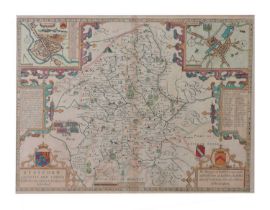

John Speed - Hand-coloured county map of Staffordshire, with town plans of Stafford and Lichfield, Bassett & Chiswell (1676), 39cm x 51.5cm, frame...
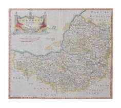
Robert Morden - 18th century hand coloured map of Somersetshire, 37cm x 43cm, in a later modern frame
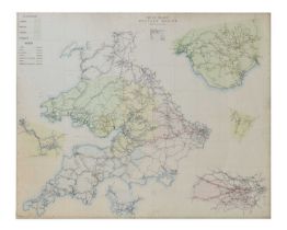
British Railways Western Region map, revised 1963, scale:- 7 1/2 miles to an inch, 117cm x 83.5cm, framed under glass
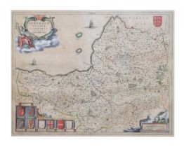
Johannes Blaeu - 17th century hand-coloured county map of Somerset, 'Somersettensis Comitatus / Somerset Shire', with typewritten label verso stat...
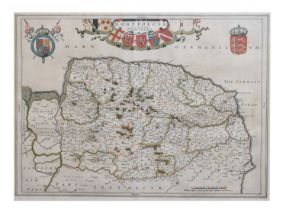
Johannes Blaeu - 17th century hand-coloured county map of Norfolk, 'Nortfolcia / Norfolke', with typewritten label verso stating 'J. Blaeu c. 1662...