Filtered by:
- Item Type
- List
- Grid
A subscription to the Price Guide is required to view results for auctions ten days or older. Click here for more information
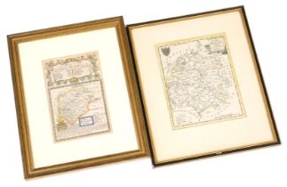

An 18thC map of Rutlandshire, hand coloured engraving, beneath details of the road from London to No
An 18thC map of Rutlandshire, hand coloured engraving, beneath details of the road from London to Norwich, plate number 115, 19cm x 12cm, together...
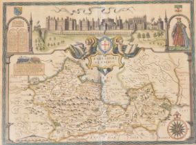
John Speed (1552-1629). A map of Barkshire with a view of Windsor, hand coloured engraving, 40cm x 5
John Speed (1552-1629). A map of Barkshire with a view of Windsor, hand coloured engraving, 40cm x 52cm.
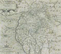
After Willem Kip (17thC). Cumbria map, black and white engraving 28cm x 32cm.
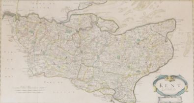
After Robert Morden (English, 1650-1703). A map of Kent, hand coloured engraving, 35cm x 65cm.
After Robert Morden (English, 1650-1703). A map of Kent, hand coloured engraving, 35cm x 65cm.
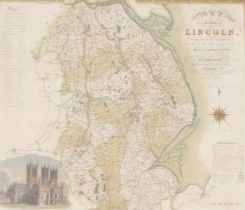
A Greenwood and Company map of the county of Lincoln, from an actual survey made in the years 1827 a
A Greenwood and Company map of the county of Lincoln, from an actual survey made in the years 1827 and 1828, coloured engraving by Josiah Neele, p...
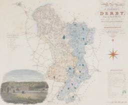
A Greenwood and Company map of the county of Derby, from an actual survey made in the years 1824 and
A Greenwood and Company map of the county of Derby, from an actual survey made in the years 1824 and 1825, coloured engraving, with a vignette of ...